Are you interested in flying drones or remote monitoring? Connect with peers using drones to study the coastal zone through the Mid-Atlantic Coastal Uncrewed Aerial Systems Community of Practice (MACU CoP).
Who We Are
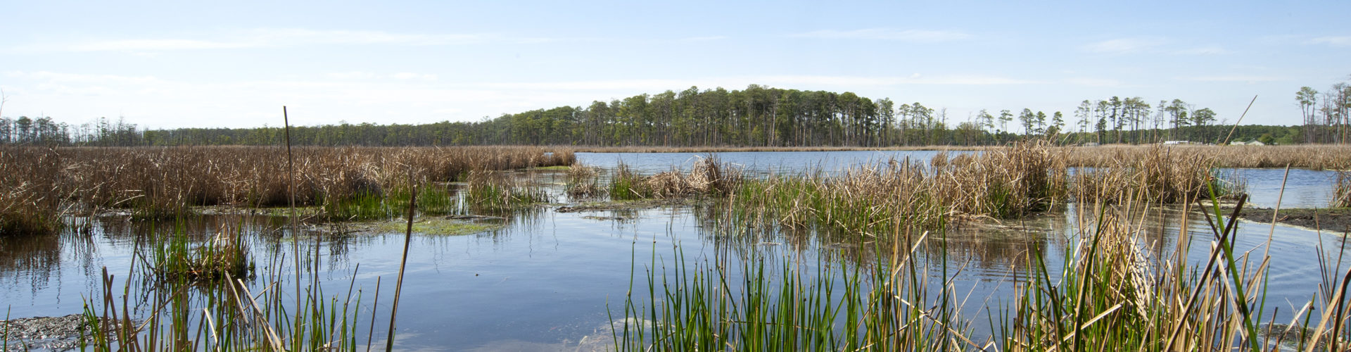
Drones and other remote sensing technologies offer exciting opportunities to view and monitor coastal ecosystems. But working around the water can create unique challenges in a field with rapidly changing technology and regulations.
The MACU CoP is a learning community dedicated to advancing the use of uncrewed aerial systems (UAS) to research, understand, and communicate about coastal and aquatic ecosystems—and to support natural resource management, community resilience, and emergency response—across the Mid-Atlantic.
Check out some of our current members and their projects in our StoryMap.
What We Offer
- Webinars
- Topic-based discussions
- List-serv to share opportunities, news, or questions
- Share existing (or develop new) standard operating procedures, including the capabilities of different equipment
- Quarterly virtual, planning team meetings (“Core Group” meetings)
Get Involved
Join the conversation
Use our list-serv to ask a question or share news with the group. Complete this short form to join.
What should we do next? Suggest future webinar topics or education opportunities using this form.
Add your UAS work to our StoryMap
This StoryMap, populated by MACU CoP members, highlights sites across the Mid-Atlantic that use uncrewed aerial systems (drones or other remote sensing technology) for coastal research and management projects.
Additional Resources
The MACU CoP is excited to share these additional resources for utilizing UAS in the coastal zone.
Webinar Archive
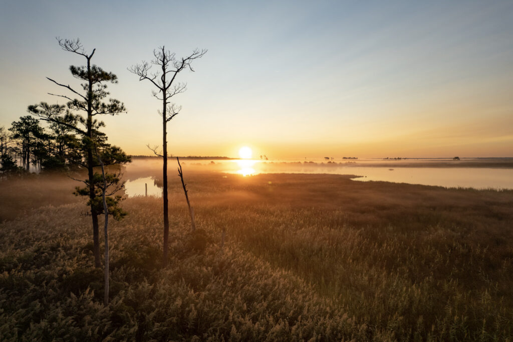
Marsh Monitoring with Drones: An Introduction
UAS technologies offer exciting opportunities to monitor tidal wetlands. Site and software access, flight customization, and expenses can make it difficult to get fledgling flight missions off the ground. This webinar highlighted regional drone marsh monitoring work, and speakers shared the benefits and practicalities of using drones in their research.
Presented by CBSSC with Maryland Sea Grant / Originally aired March 26, 2024
Drone Flights in Tidal Wetlands: Design and Post-Processing
This webinar shared considerations for planning a drone flight in coastal environments, then demonstrated software to view and analyze the data collected.
Presented by CBSSC with Maryland Sea Grant / Originally aired June 4, 2025
Past Workshops
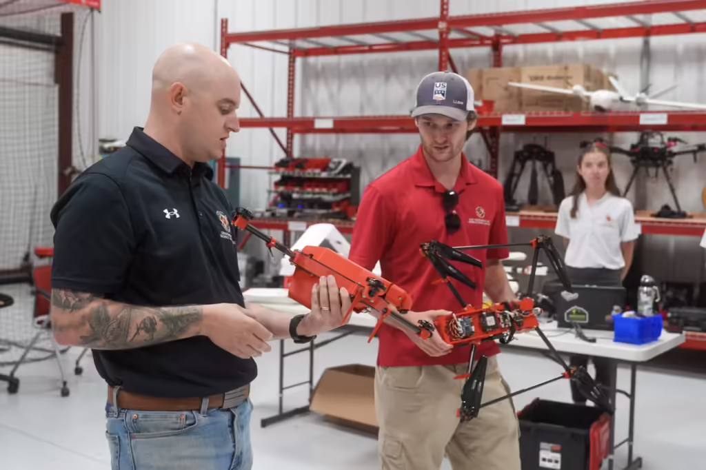
Coastal Geospatial Horizons Workshop
Maryland Sea Grant held the Coastal Geospatial Horizons Workshop on August 6, 2024 at the University of Maryland, UAS Research and Operations Center in California, Maryland. The workshop brought together scientists and drone pilots to explore collaboration and exchange information about operating drones in marsh research. Read a recap of the workshop on Maryland Sea Grant’s blog. View and download the workshop report.