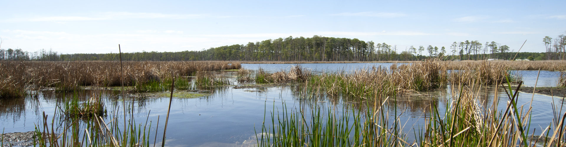
This map is a collection of Surface Elevation Table (SET) sampling stations throughout the tidal marshes in the Chesapeake Bay. We have attempted to make this map as comprehensive as possible through the submission of sentinel site and affiliated sites’ metadata, though this does not currently represent all the SET stations in the Bay region.
A SET is a portable, mechanical leveling device that, when attached to an in situ reference mark, enables the measurement of surface elevation change over time through the use of sliding pins from the horizontal arm of the device (Cahoon et al. 2002). SETs yield long-term, precise measurements. How a wetland gains or loses elevation determines how it can withstand local sea level rise.
Each dot on the map represents a SET sampling station and has a suite of information associated with it. These are research plots and should not be tampered with. The ecosystem within which the SET station is located affects the potential for sediments to accumulate on wetland surfaces, so several ecological parameters are included in the metadata. How each organization operates and measures the SETs determines the availability of data. Click on each SET station to learn its characteristics. Use the query box to collect a subset of SETs based on the parameters you choose. You can download this subset as a .csv file.
Metadata Field Definitions
| Affiliation | The organization responsible for monitoring the SETs. |
| Type of Institution | The organization may be academic, government or non-profit. |
| Geomorphic Setting | This is where the SET is located in the coastal landscape especially with regard to its water source. |
| Salinity | The salinity regime the SET is located within. Freshwater has less than 0.5 parts per thousand (ppt); oligohaline is between 0.5 to <5 ppt; mesohaline 5 to <18 ppt ; and polyhaline 18 to <30 ppt. |
| Site Label | Each site labels their SET a certain way for their monitoring records. |
| Marker Horizon | A marker horizon measures vertical sediment accretion. Many sites have maker horizons associated with each SET. Some do not. |
| Data Ownership | The organization that owns the collected data. |
| Property Ownership | The organization or individual that owns the land the SET is located on. |
| Installation Year | The year the SET was installed and when measurements began. |
| Intra-annual data available | Sites differ in how often they measure the SETs. If intra-annual data is available (YES), then the SET is monitored more than once a year and may reflect seasonal differences. If SETs do not have intra-annual data (NO), then they are monitored once a year or less. |
| Inactive since | SETs may stop being monitored for multiple reasons (study ends, SET damaged or lost). This shows the year the SET was no longer monitored. |
| SET Trend rate | A positive trend rate implies over time the SET site has gained elevation while a negative trend implies a loss in elevation. No trend means that the SET is neither gaining nor losing elevation. In some cases the trend rate is currently unavailable given the type or study and when the SET was installed. |
| Elevation data | The elevation of a SET site can be determined in multiple ways (NAVD88, tidal datums, elevation ellipsoid). The SET may have some type of elevation data associated with it (YES) or the elevation has not been determined at this site. |
| Hydrologic Zone | This indicates how the site may be influenced by tides. |
| SET type | SETs can differ in depth based off the SET type. The depth of the SET responds to subterranean changes. Original SETs are 2 to 9 m deep, shallow SETs are <1 to 2 m deep, and deep SETs are 2 to 25 m deep. |
| Vegetation Community | This reflects the vegetation community exactly where the SET is located. Vegetation affects sediment deposits and levels of organic material. |
| Treatment | Some sites are exposed to different environmental conditions through applied management or research. |
| Contact email | Who you should contact to learn more about the SET and study site. |
| Contact phone | Who you should contact to learn more about the SET and study site. |
Cahoon, D.R., J.C. Lynch, P. Hensel, R. Boumans, B.C. Perez, B. Segura, and J.W. Day. 2002. High precision measurements of wetland sediment elevation: I. Recent improvements to the Sedimentation-Erosion Table. Journal of Sedimentary Research, v. 72, p. 30-33.
Questions? Contact Taryn Sudol at sudol@mdsg.umd.edu